Loading map…
Interactive Map of the proposed Sandbaai Park – hover or click on any of the features to see details
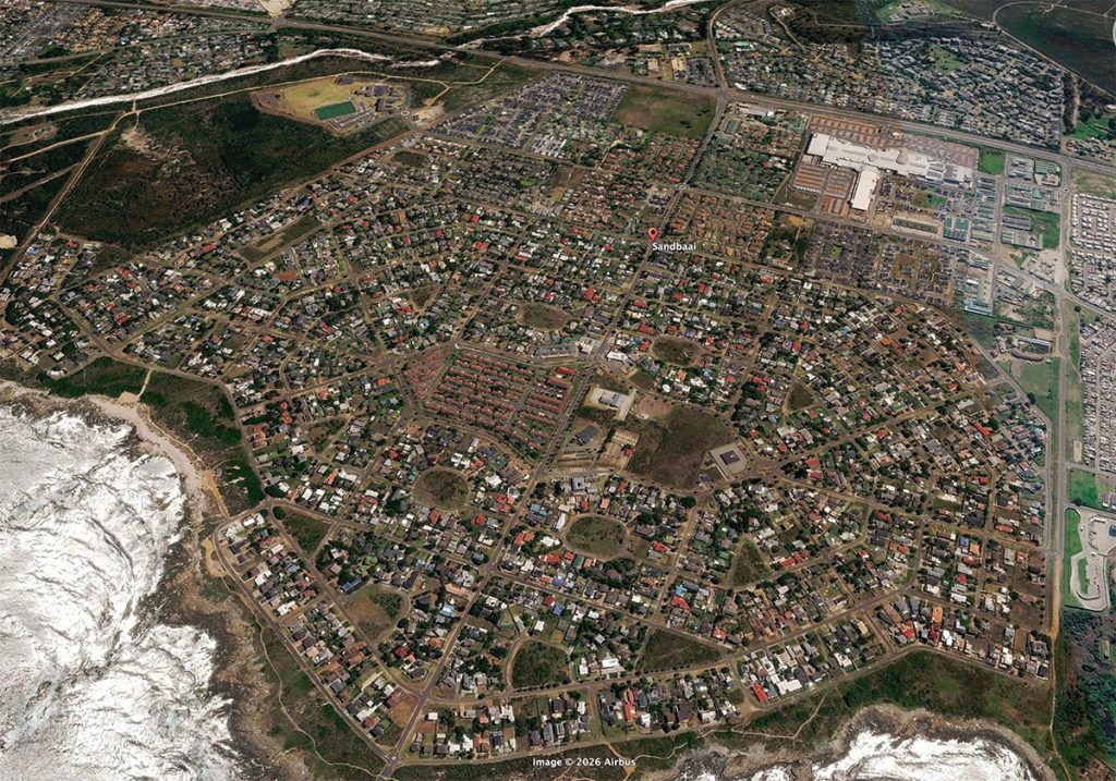
Aerial photo of Sandbaai for context. Note the large open land near the centre.
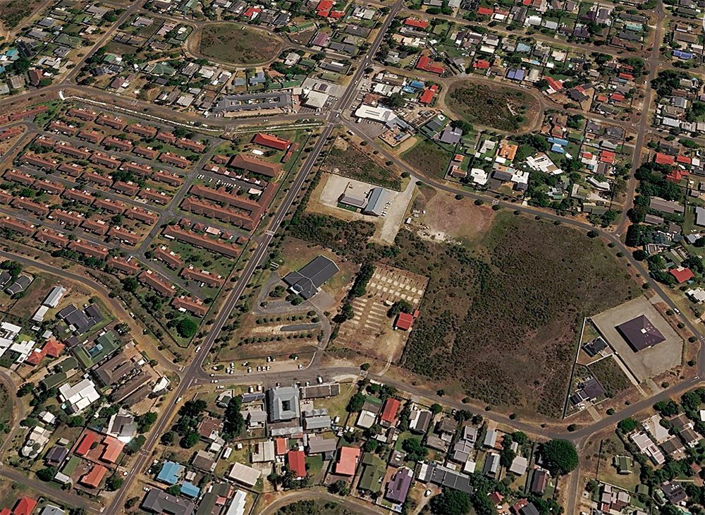
Aerial photo of Central Sandbaai, with Golden Harvest on the left and the community zoned land on the right.
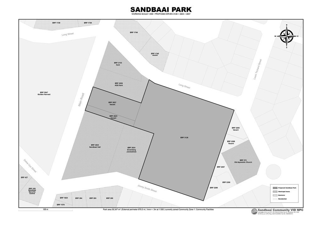
GIS Cadastral map of the proposed Sandbaai Park and surrounding properties.